


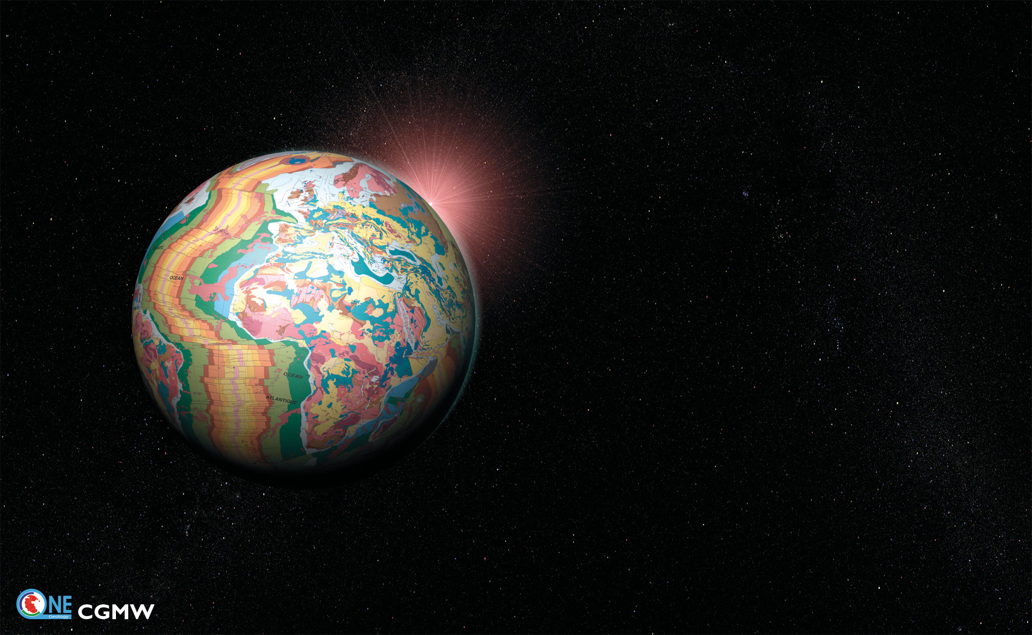
Have you ever wondered what our world would look like stripped bare of all plants, soils, water and man-made structures?
So have earth and computer scientists from 79 nations who are working together on a global project called OneGeology to produce the first digital geological map of the world.
Images of the Earth as never seen before have been unveiled in what is the world’s biggest geological mapping project ever.
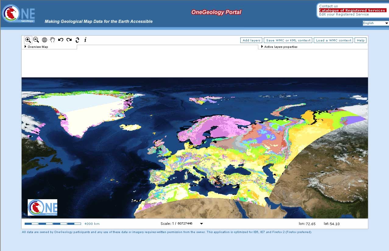
Begun just over a year ago, the project is doing for the rocks beneath our feet what Google does for maps of the Earth’s surface. Pretty fast for a science that usually counts time in millions of years.
Unfortunately information about the Earth’s rocks isn’t always up-to-date, joined-up, and in some parts of the world is not available at all, so the challenge that OneGeology project faced was a difficult ine. The results will be unveiled at the 33rd International Geological Congress in Oslo, Norway on 6 August 2008.
OneGeology is supported by UNESCO and six other international umbrella bodies and is the flagship project for UN International Year of Planet Earth 2008. The key results of this project are:
1. Geological maps from around the globe are accessible on the World Wide Web;
2. A new web language has been written for geology which allows nations to share data with each other and the public;
3. The know-how to do this is being exchanged so that all nations across the world, regardless of their development status, can take part and benefit.
Explaining the significance of this project, Ian Jackson, Chief of Operations at the British Geological Survey, who is coordinating OneGeology explained: “Geological maps are essential tools in finding natural resources e.g. water, hydrocarbons and minerals, and when planning to mitigate geohazards e.g. earthquakes, volcanoes and radon. Natural resources are a crucial source of wealth for all nations, especially those that need to develop and build their economies. Identifying geohazards is often a matter of life or death. Other challenges facing all nations in the 21st century include rising sea levels, management of waste (nuclear or domestic) and storage of carbon. Knowledge of the rocks that we all live on has become increasingly important and sharing that knowledge at a time of global environmental change is crucial.”
François Robida, Deputy Head of Division, Information Systems and Technologies at the Bureau de Recherches Géologiques et Minières, France, explained; “Today you can go to the OneGeology website and get geological maps from across the globe — from an overview of our entire planet, to larger scale maps of the rocks of individual nations. You also have the ability to hop from this web site to higher resolution applied maps and data on linked national web sites. Participating nations are contributing to a legacy for humankind; by acting locally they are thinking globally.”


Comments