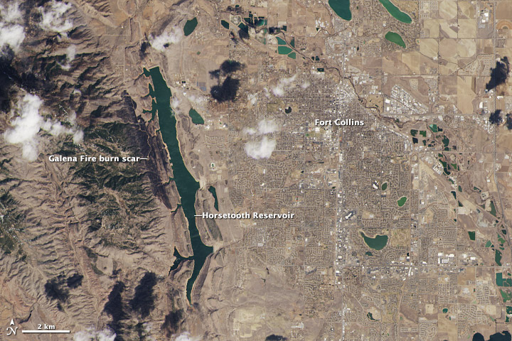
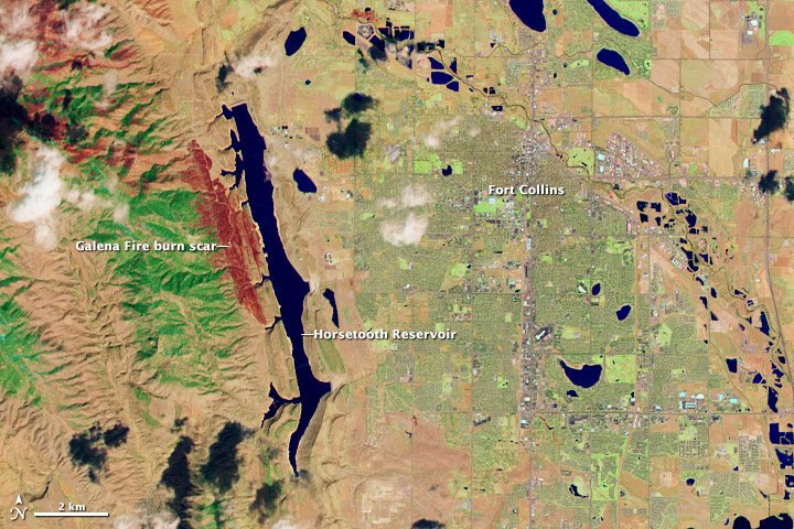
I wrote about the torturing excitement and suspense when NASA and USGS launched Landsat 8 in February. The success of this launch secured an even longer record of continuous Earth observations from the Landsat program. Continuity is extremely important for climate change studies as well as other application areas.
Today NASA published the two first images on their fabulous Earth Observatory website.


The close-ups above were cropped from larger Landsat scenes (downloadable can be found following the link when clicking on the web image) that show where the Great Plains meet the Front Range of the Rocky Mountains in Wyoming and Colorado.
You can make a very close comparison of the two images in A closer look at LDCM's first scene.


Comments