 Pantelleria, Its Magma Chamber And Possible Impact On Global Climate
My friend has written a paper on Pantelleria (which I am a co-author of), and I thought it was...
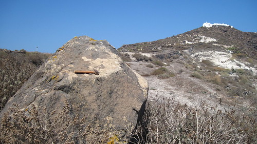
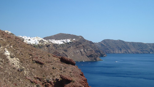 The Rapid Timescales Of Caldera Volcanism
A new study in Nature shows that Santorini may have reactivated roughly a century before the Minoan...
 A Geologist's Experience (Accretionary Wedge 41)
For the 41st Accretionary Wedge Ron Schott asked for "the most memorable or significant geological...
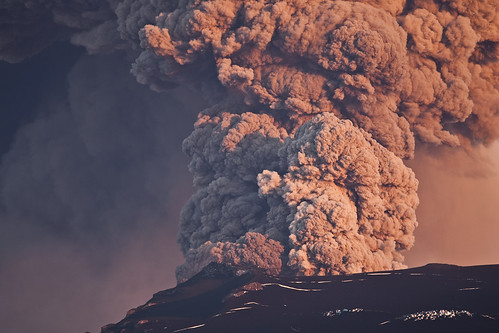 The Changing Composition Of The Eyjafjallajökull Eruption
As I have a long train journey and not much to do, I can use it to write about this recent open...

|
Gareth Fabbro For those of you who are not geologists, a tuff is a volcanic rock, made up of solidified ash. Hence the pun as my blog title. Actually, my research involves very little tuffs. Lots of lavas,... Read More » |
Blogroll |


